🗺️ Linn County in 1869: Our Old Map
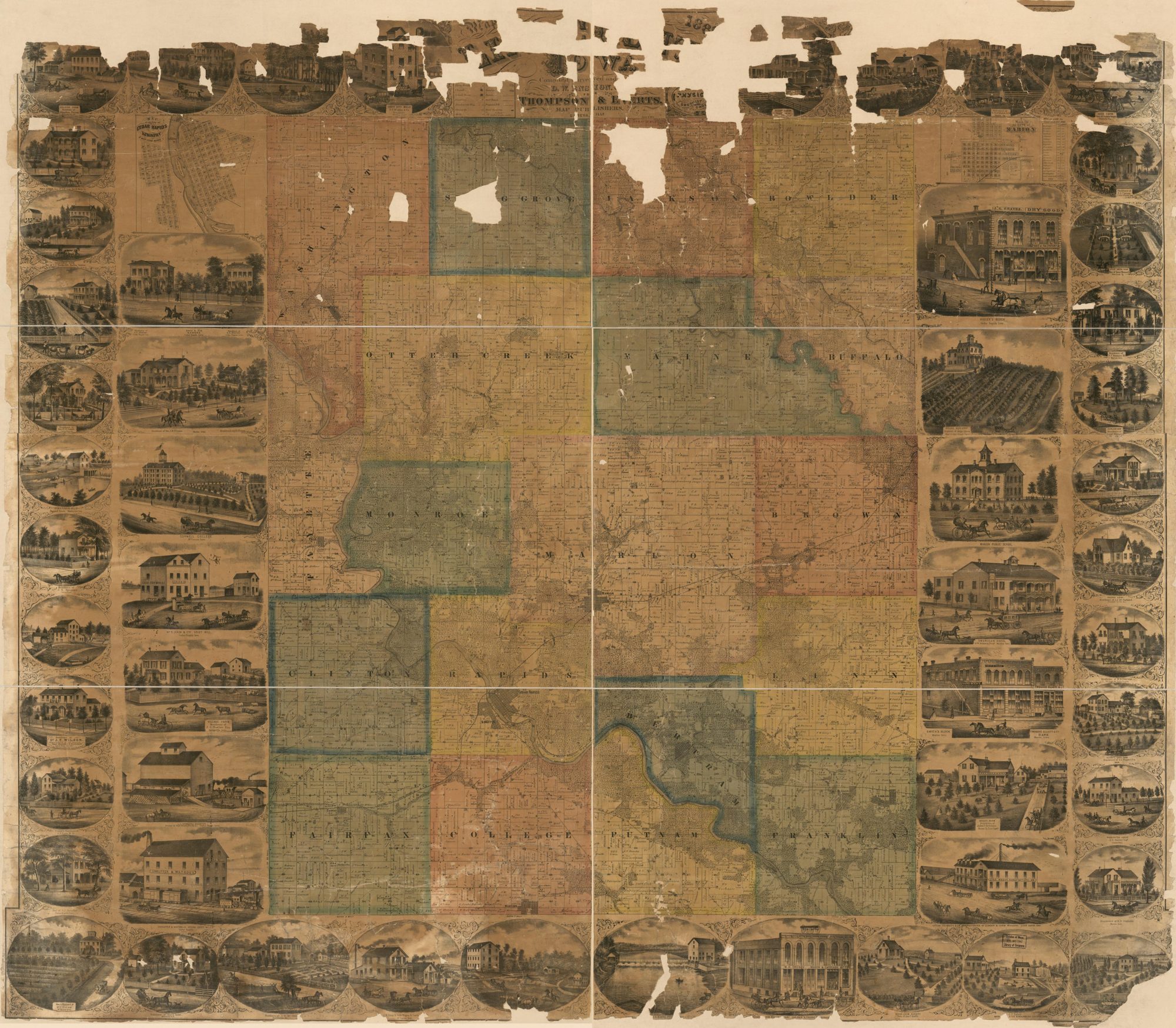
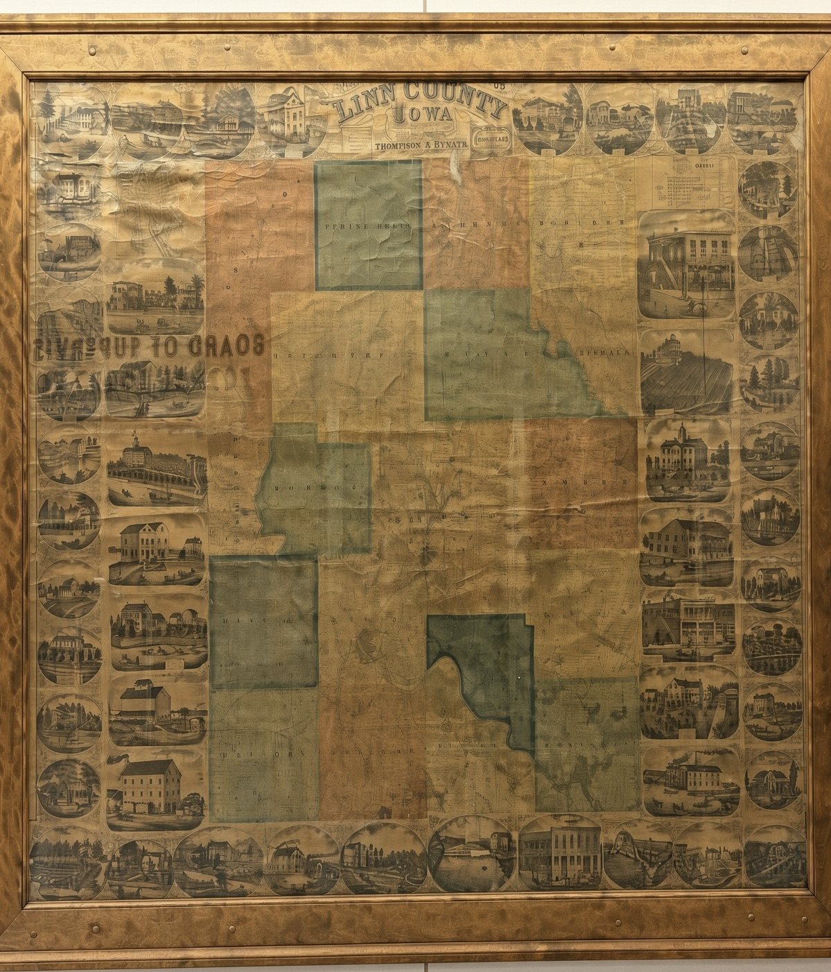
Long before GPS, neighbors hung a big map on the wall. This one, the Map of Linn County, Iowa, was published in 1869. It marks who owned each farm, and around its border are little engraved pictures of homes, mills, schools and shops. A framed copy hangs at the Jean Oxley Linn County Public Service Center.
About the map
The Library of Congress lists the map as published in 1869 by Thompson & Everts of Geneva, Illinois, under the name of D.W. Ensign & Co. It was printed in Philadelphia, hand colored, and shows landowners. It also includes city maps of Cedar Rapids, Kingston and West Cedar Rapids, and of Marion, plus the vote of Linn County on November 3, 1868. The Library of Congress record has the full details and a zoomable image.
The Library of Congress says its digitized maps are free to use. The copy shown here is theirs, and it is torn along the top. The framed copy in my photo looks like the same map, but I haven’t confirmed that it is the original edition.
A few of the little pictures
Who and what is pictured
Each picture has a small caption engraved beneath it. Here are the ones that are clear enough to read, gathered by town, spelled as they appear on the map. A few are torn or too faint, so I left those out rather than guess. I haven’t checked which of these buildings still stand.
Cedar Rapids
- Residence of Hon. W.B. Leach
- Wm. B. Leach & Co.’s Grist Mill The building carries signs for “Cash for Wheat” and the office.
- L.L. Dawson’s Elevator Dealer in salt, grain, pork and more.
- Snouffer & Watrous Steam Grist Mills The building is signed “Aetna Mills.”
- Residence of J.J. Snouffer
- Residence of J.L. Bever, with Bever & Son, Bankers, and the Residence of S.C. Bever
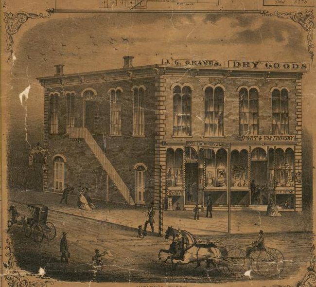
- Higley’s Block A dry goods store sign for J.C. Graves can be seen on the building.
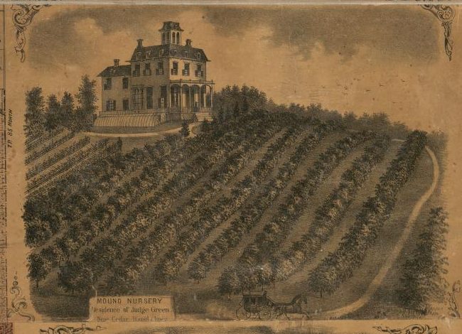
- Mound Nursery, Residence of Judge Green Near Cedar Rapids.
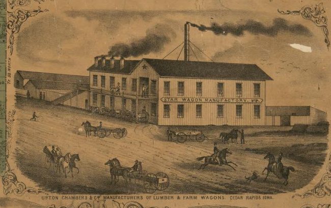
- Upton, Chambers & Co., Manufacturers of Lumber and Farm Wagons The Star Wagon Manufactory.
- Residence of F.J. Upton
- Residence of W.D. Watrous
Marion
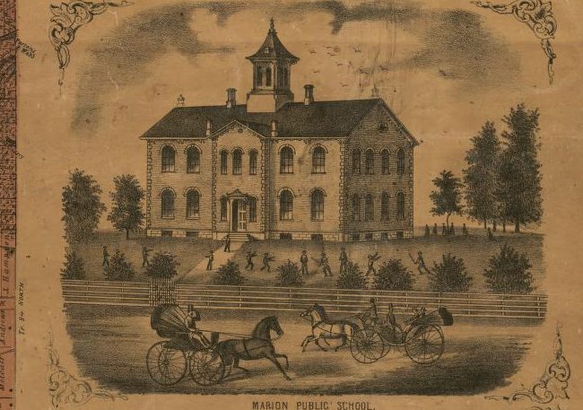
- Marion Public School
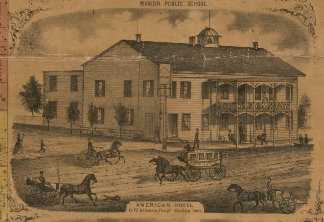
- American Hotel, G.W. Stinson, Proprietor
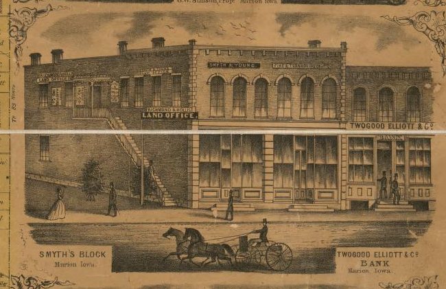
- Smyth’s Block and Twogood, Elliott & Co. Bank A land office sign is also on the building.
- Residence of Hon. I.M. Preston
- Residence of S.P. Yeomans, M.D.
- Residence of R.D. Stephens
- M.H. Crosby Wagon & Carriage Manufactory On the corner of Main and Prairie streets.
Mount Vernon
- Cornell College
- Residence and Vineyard of Dr. J. Doran
Center Point
- Residence of J.G. Spooner
- Residence of Dr. J.F. Wilson Maker of family medicines and perfumery.
- Washington House, S.S. Smiley, Proprietor
Other towns and villages
- Store & Flouring Mill of Haggard Green, Manhattan Manhattan is the caption’s spelling of the village name.
- Waubeek Mills, F. Braun, Proprietor, Waubeek
- Village Farm, Residence of J.S. Butler, Springville
- Vanderbilt Farm, Residence of H.F. Vanderbilt, Fairfax Station
- Residence of Emile Lefebure, Fairfax Station
Farms and country homes
- Hillside Farm, Residence of Jonathan Pinson
- Maple Garden, Residence of O.N. Gray Section 25, Marion Township.
- Eden Farm, Residence of James Smyth Franklin Township.
- Prairie Home, Residence of J.J. McFarland Franklin Township, Section 25.
- Brook Farm, Residence of John F. Gritman Brown Township.
- Otter Creek Farm, Residence of Isaac Mounce Otter Creek Township.
- Nugent’s Grove Farm, Residence of J.J. Nugent Dated 1868.
- Residence of B. Bowdish & Sons Maine Township.
- Country Residence of J.S. Love, M.D.
- Residence of H.C. Weaver Dealer in fruit and ornamental trees.
Do you recognize a name or a building? Tell us at [email protected] and we’ll add the story. For more of Linn County’s past, visit the History Center in Cedar Rapids.